The Baltic WayStart the flight

Press kit

The Baltic Way: images and key facts

Everything you need to write about or share The Baltic Way, a cinematic flight along the human chain of 23 August 1989. Use the images freely with the credit shown under each one.

In one sentence

The Baltic Way is a free cinematic flight along the 675 km human chain of 23 August 1989, from Tallinn through Rīga to Vilnius, with archive photographs, film and the radio broadcast from that evening, and a map where visitors mark where their families stood.

In a paragraph

On 23 August 1989, about two million people in Estonia, Latvia and Lithuania joined hands for fifteen minutes and formed a human chain of about 675 km, marking 50 years since the Molotov–Ribbentrop Pact. The Baltic Way, a Lab project by Valev Laube, flies the whole chain in about four minutes: the line of people forms beneath you at twelve stops, each with a photograph from the day and a moment from Estonian Radio’s live broadcast. At the end, visitors can mark where their own families stood. In English, Estonian, Latvian and Lithuanian, at baltikett.valevlaube.com.

Key facts

The whole story on one page · Kogu lugu eesti keeles

Images

Sized for each platform. Each links to baltikett.valevlaube.com and carries its credit. Archive photographs come from Wikimedia Commons under the licenses shown; the images are shared under CC BY-SA 4.0.
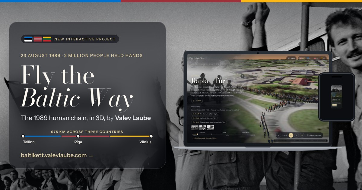
Launch: link preview
Launch: link preview1200 × 630 · Facebook, LinkedIn and messaging link previewsPhoto: Jaan Künnap · CC BY-SA 4.0Download JPG
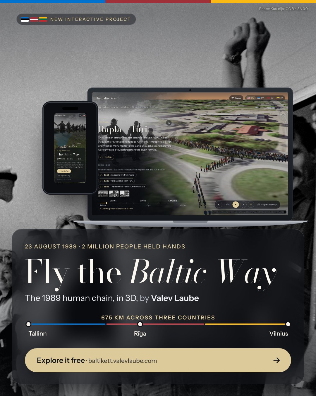
Launch: portrait post
Launch: portrait post1080 × 1350 · Instagram and Facebook feedPhoto: Jaan Künnap · CC BY-SA 4.0Download JPG
Launch: square post
Launch: square post1080 × 1080 · Square postPhoto: Kusurija · CC BY-SA 3.0Download JPG
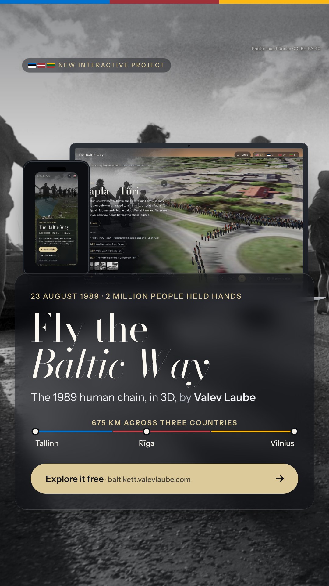
Launch: story
Launch: story1080 × 1920 · Instagram and Facebook storiesPhoto: Jaan Künnap · CC BY-SA 4.0Download JPG
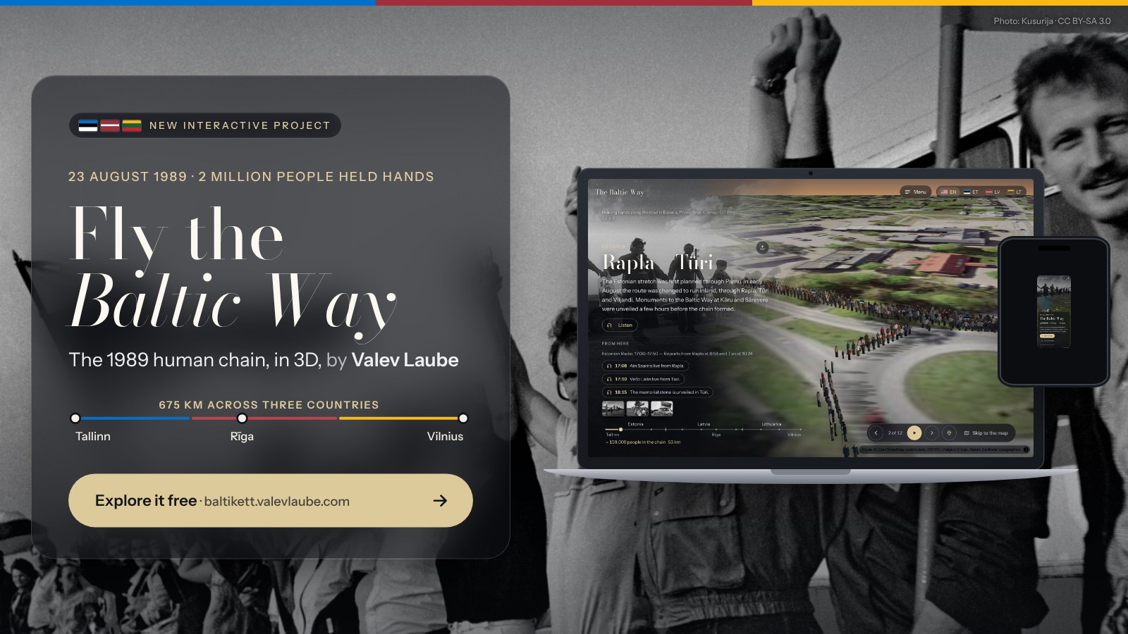
Launch: landscape post
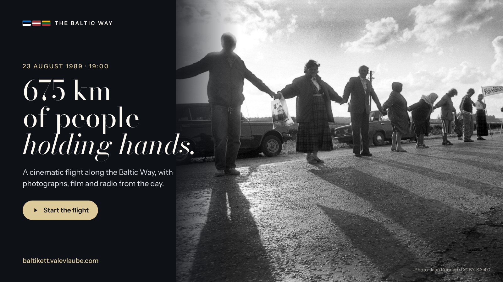
Launch: landscape post1600 × 900 · X, LinkedInPhoto: Jaan Künnap · CC BY-SA 4.0Download JPG
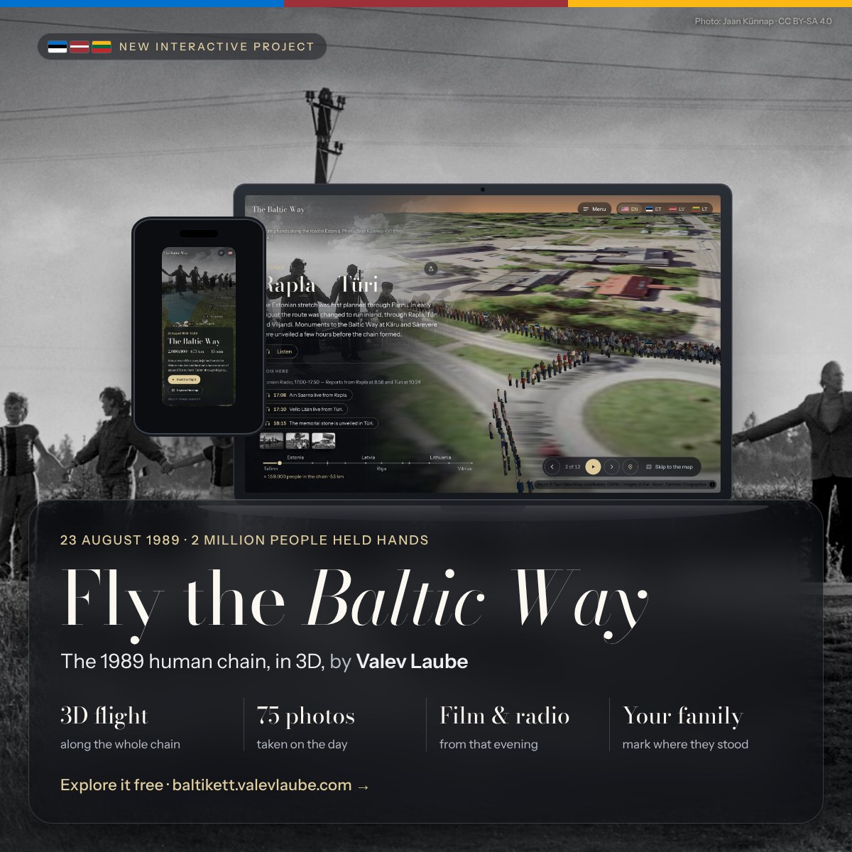
Launch: what’s inside
Launch: what’s inside1200 × 1200 · LinkedIn and Facebook feedScreens: Imagery © Esri, Maxar, Earthstar GeographicsDownload JPG
Link preview
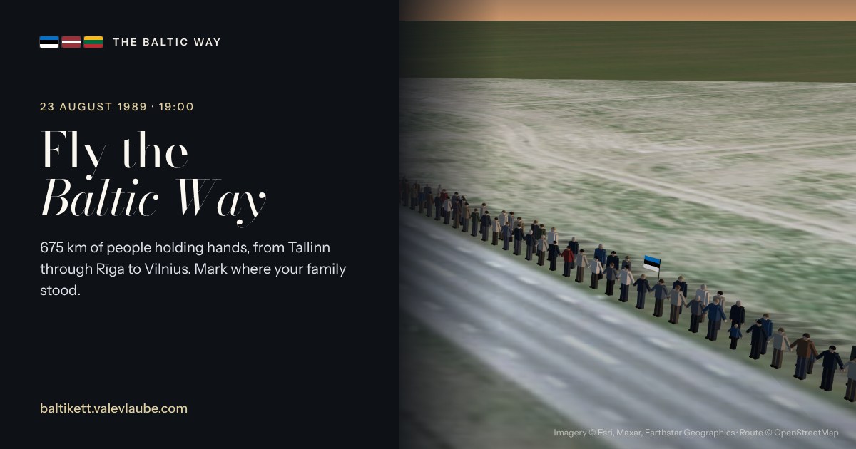
Link preview1200 × 630 · Facebook, LinkedIn and messaging link previewsImagery © Esri, Maxar, Earthstar Geographics · Route © OpenStreetMap contributorsDownload JPG
X / Twitter post
X / Twitter post1600 × 900 · Landscape postPhoto: Jaan Künnap · CC BY-SA 4.0Download JPG
Instagram carousel 1/5: cover
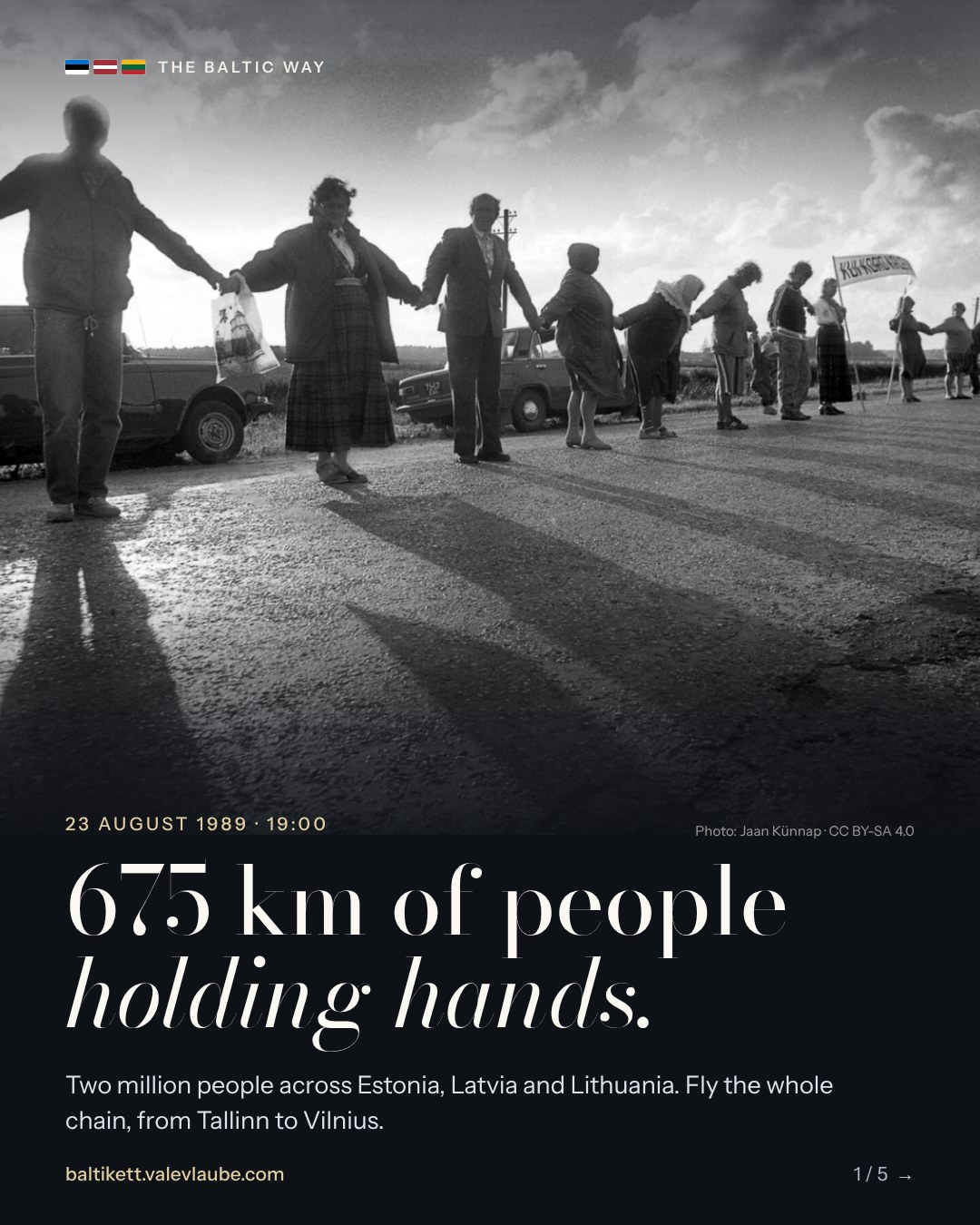
Instagram carousel 1/5: cover1080 × 1350 · Portrait postPhoto: Jaan Künnap · CC BY-SA 4.0Download JPG
Instagram carousel 2/5: the route
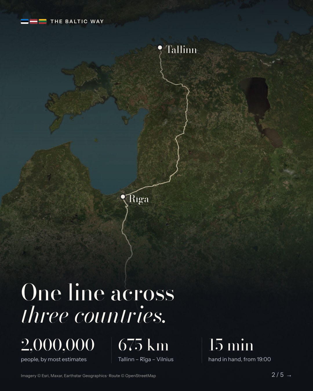
Instagram carousel 2/5: the route1080 × 1350 · Portrait postImagery © Esri, Maxar, Earthstar Geographics · Route © OpenStreetMap contributorsDownload JPG
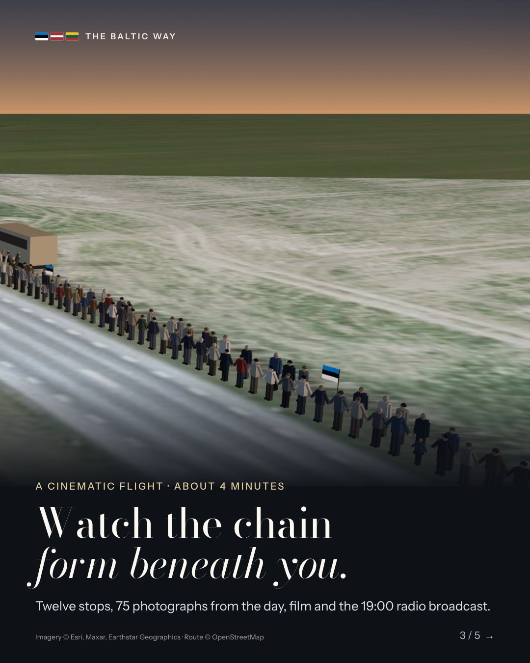
Instagram carousel 3/5: the flight
Instagram carousel 3/5: the flight1080 × 1350 · Portrait postImagery © Esri, Maxar, Earthstar GeographicsDownload JPG
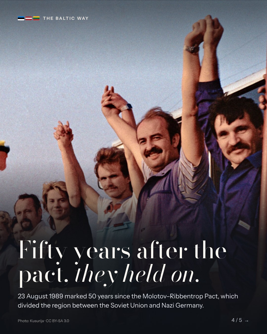
Instagram carousel 4/5: Lithuania
Instagram carousel 4/5: Lithuania1080 × 1350 · Portrait postPhoto: Kusurija · CC BY-SA 3.0Download JPG
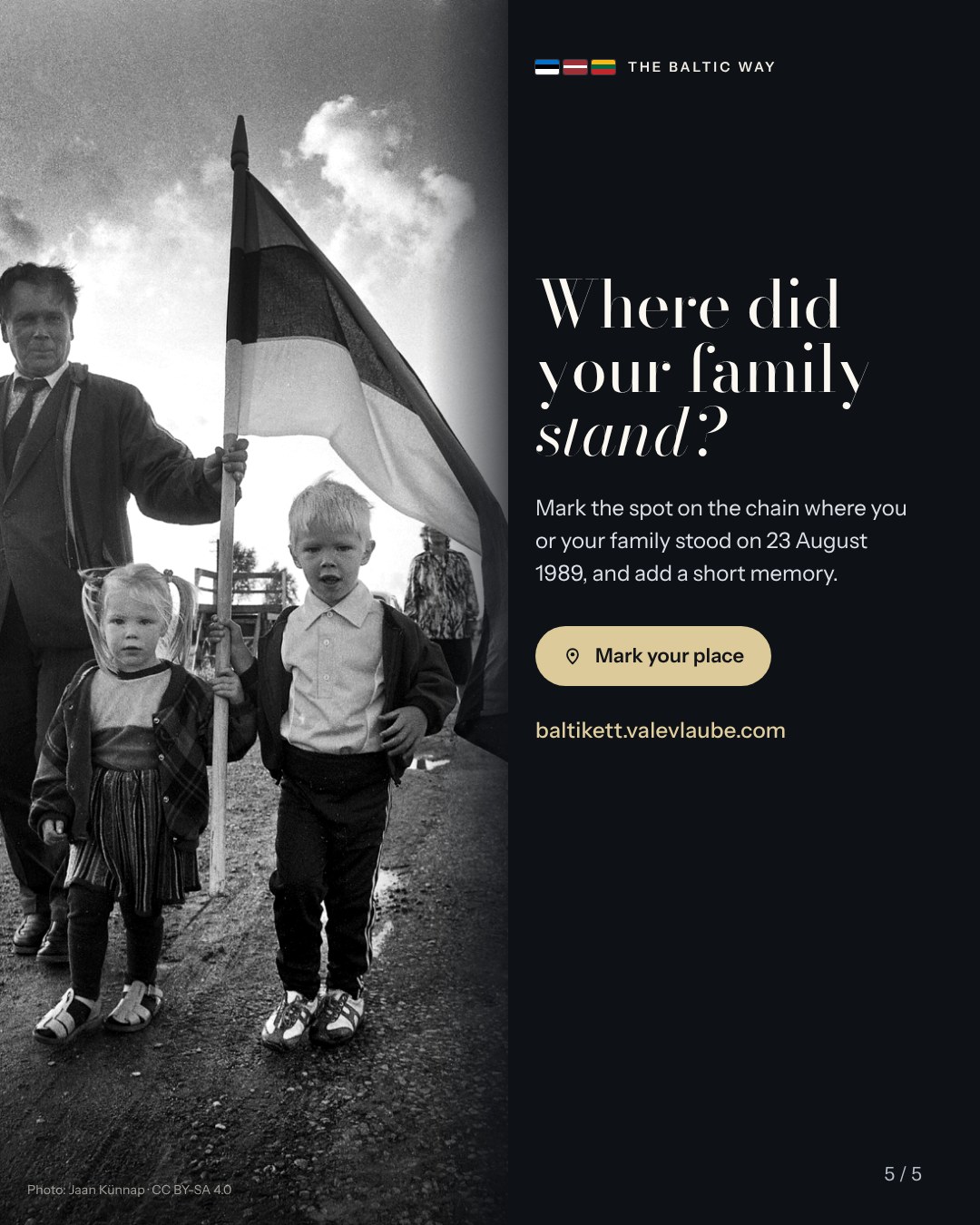
Instagram carousel 5/5: mark your place
Instagram carousel 5/5: mark your place1080 × 1350 · Portrait postPhoto: Jaan Künnap · CC BY-SA 4.0Download JPG
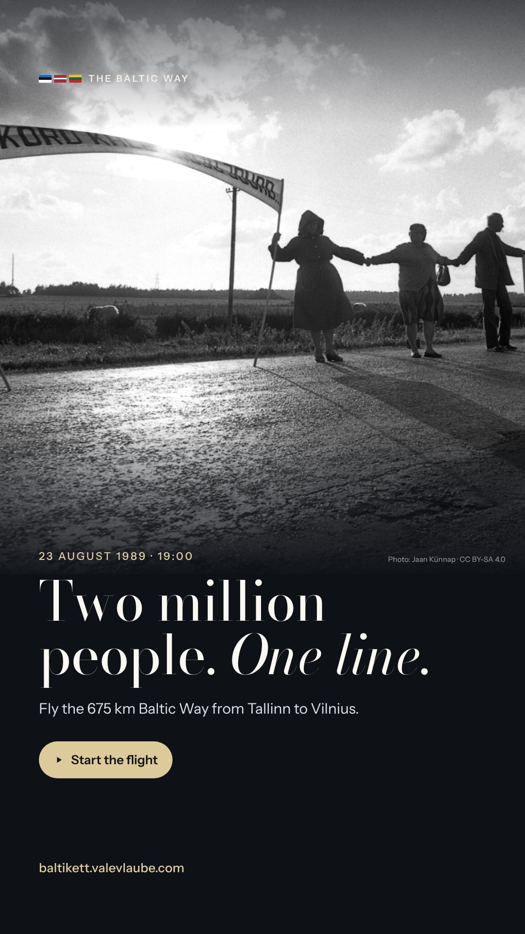
Story: two million people
Story: two million people1080 × 1920 · Instagram and Facebook storiesPhoto: Jaan Künnap · CC BY-SA 4.0Download JPG
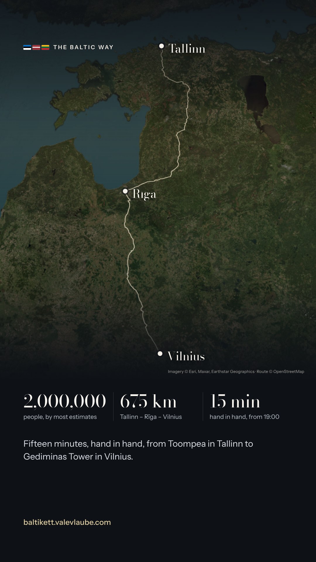
Story: the route
Story: the route1080 × 1920 · Instagram and Facebook storiesImagery © Esri, Maxar, Earthstar Geographics · Route © OpenStreetMap contributorsDownload JPG
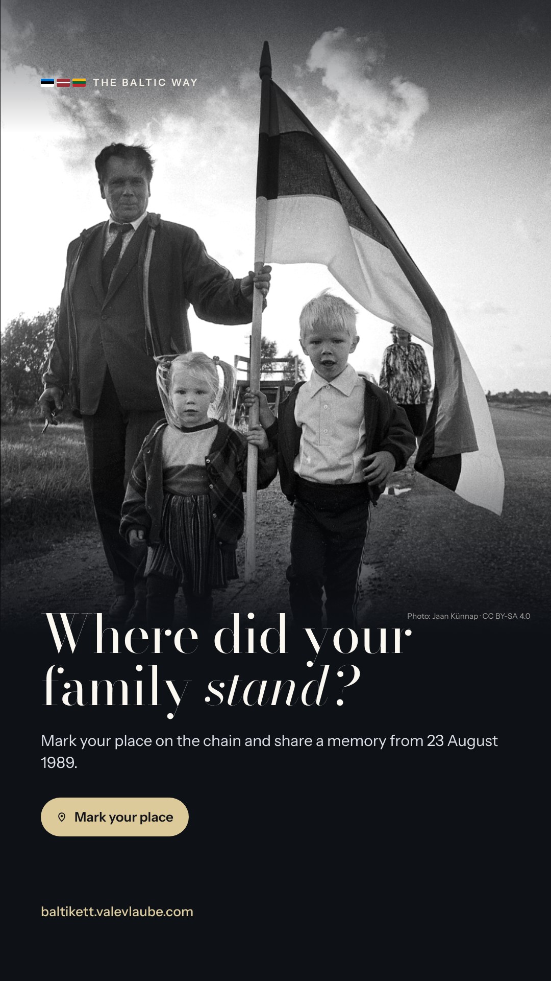
Story: where did your family stand?
Story: where did your family stand?1080 × 1920 · Instagram and Facebook storiesPhoto: Jaan Künnap · CC BY-SA 4.0Download JPG
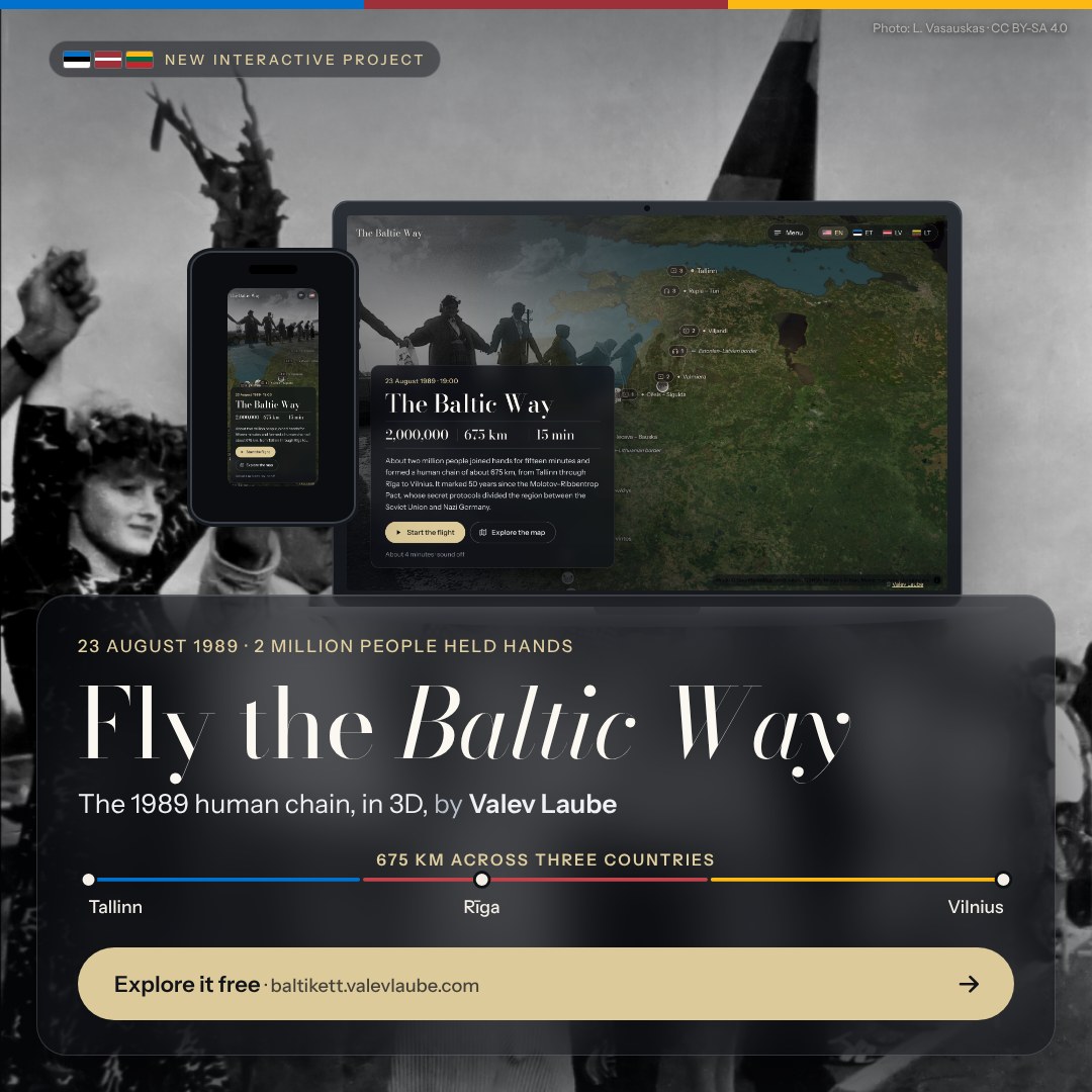
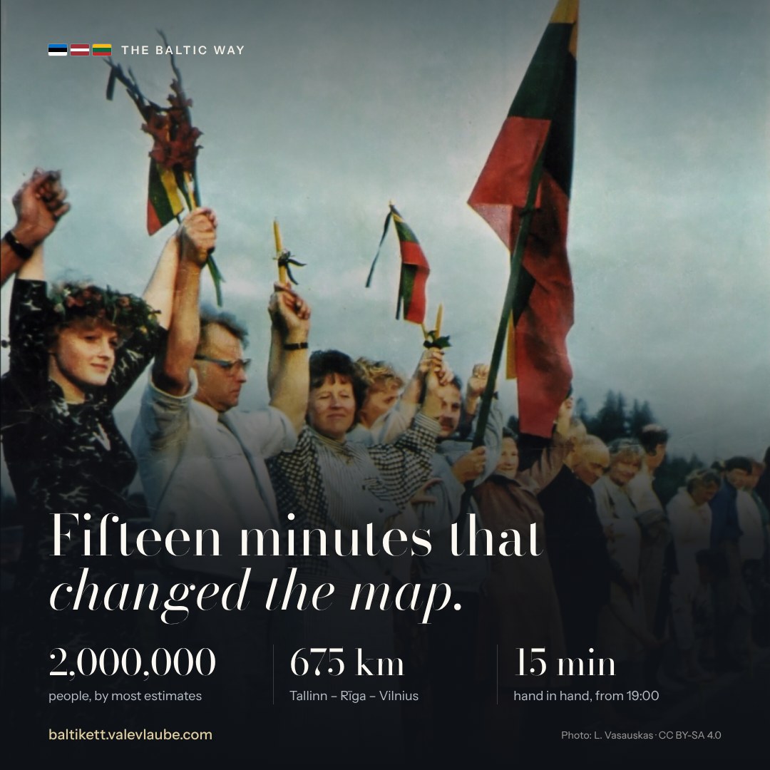
Square: the numbers
Square: the numbers1080 × 1080 · Square postPhoto: L. Vasauskas · CC BY-SA 4.0Download JPG
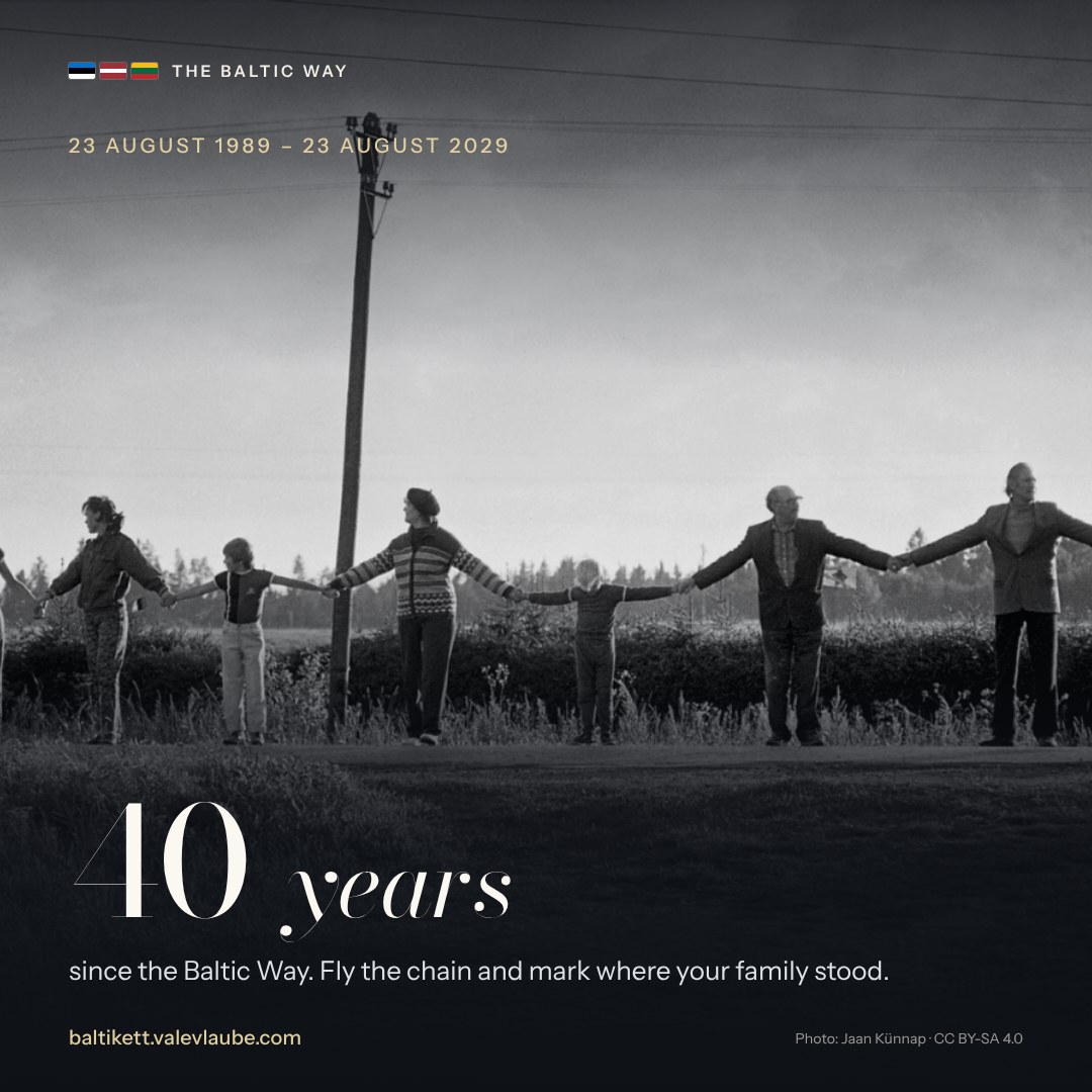
Square: 40 years in 2029
Square: 40 years in 20291080 × 1080 · Square postPhoto: Jaan Künnap · CC BY-SA 4.0Download JPG
The site
The site1200 × 1200 · LinkedIn and Facebook feedImagery © Esri, Maxar, Earthstar Geographics · Photo: Jaan Künnap · CC BY-SA 4.0Download JPG
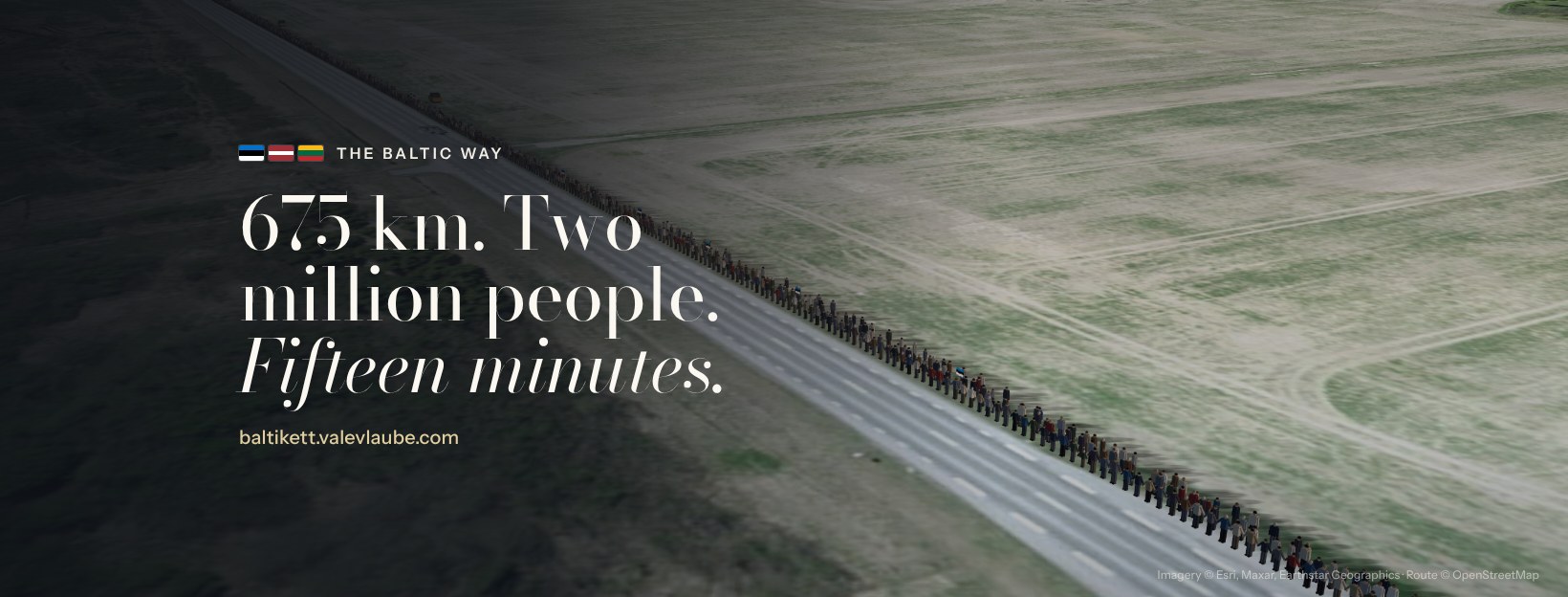
Cover banner
Cover banner1640 × 624 · Facebook page or event coverImagery © Esri, Maxar, Earthstar GeographicsDownload JPG

Contact

For interviews, partnerships, corrections or more images: [email protected]